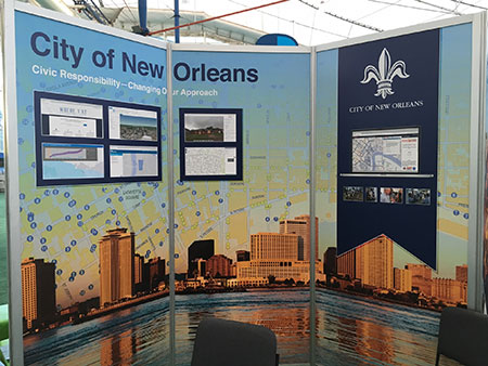
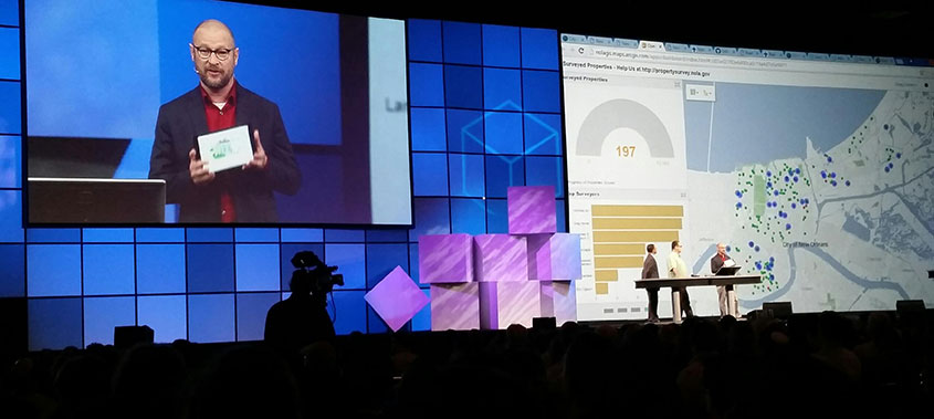
Earlier this Summer, New Orleans' GIS Team presented at the 2016 ESRI International GIS User Conference plenary session to demonstrate how we are changing engagment with the public and how the City lives with water. It was a tremendous honor to be selected by ESRI to present our work, and an honor to represent New Orleans. The following is a brief overview of some of the work we've been doing.
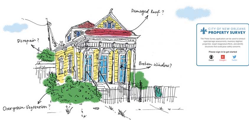
Property Survey
The City's GIS team collaborated with several internal and external stakeholders at the 2015 National Day of Civic Hacking to design a crowd-sourced property survey. We took the idea to ESRI, the industry leader in local government GIS, to create a photo survey app that was easy for anyone to use at anytime from anywhere. The goal was to measure for several blight indicators without having to visit each property in person. The survey is simple enough for anyone to use on a tablet, smart phone, or desktop computer. The properties are randomized to reduce the possibility of neighborhood bias and to give all parts of the city an even chance to be graded. Start now by using the guest login or your own social login at https://propertysurvey.nola.gov.
Adopt-a-Catch Basin
Another idea in the works is a new application called Adopt-A-Catch Basin. The City wanted to engage the public in a more meaningful way around localized flooding, and to encourage people to clean the catch basin (storm drain) in front of their home. Anyone can participate by clicking on the catch basin they want to adopt and letting us know if the water is still pooling after the debris has been removed. The interaction will be directly tied to the City's 311 system, so work orders can be assigned for problems areas. Since this webapp will be email based, the City can also send out reminders before random heavy rain events, tropical weather activity, and regularly in both Spring and Fall.
Where Y'at
You may not realize it, but GIS technology is already embedded at the bottom of every page on nola.gov via the WhereY'at widget (you can also visit whereyat.nola.gov). Citizens can get easy access by typing in their address, and receiving an easy to read layout of zoning, trash and recycling pickup schedule, district and voting precinct boundaries, and historic districts.
NoticeMe
NoticeMe is a personalized notification tool that emails citizens to inform them of opportunities for public input on proposed land-use changes.It is difficult for the average citizens to keep up on all the public meeting agendas for properties in their neighborhood. Along with the increased outreach required by the Neighborhood Participation Program, NoticeMe offers a way for all interested parties to stay informed of proposed land use changes in a selected area.Using GIS, we can target notifications to just the areas that are important to you.
RoadWork
RoadWork is a collaboration between the Department of Public Works & Sewerage and Water Board to inform citizens about past, current, and future road work projects that affect their daily lives. The GIS team worked to bring all of the various data sources into the enterprise, making a comprehensive map possible.
GIS data and applications are critical pieces to manage most City problems, solutions, and is an important part of citizen engagement. To see more GIS applications, please visit gis.nola.gov.